~45km -1.5 days - September 11th to 12th, 2021
Following Rupert Main out of Port McNeill, the trail makes its way to the ocean again through the Cluxewe Wildlife Management Area. Passing through the Cluxewe Resort and picnic area, the GPS trail follows the beach to the end of the sand bar and continues further up the coast by crossing the Cluxewe River. With no way around other than backtracking up the river where it could be shallower, I hoisted my backpack over my head and tried not to float away as I waded across. I managed to keep my feet on the river bed, my pack dry, with the water up to my shoulders.
I wish I had pictures.
I crossed the river close to high tide and if I had followed the GPS through the estuary exactly as it had shown on the map, I would have been swimming. The VIT Association is currently reworking some of the trail in the northern sections of the island and the trail route might change in the future.
With soaked shoes and hopefully a dry pack, hikers follow the Vancouver Island Trail up the shoreline to the Cluxewe Beach Trail that cuts into the forest, following overgrown logging roads for about 2km to connect with the beach once again. I almost bumped into two different black bears along this section as they feasted on thimbleberries, the cleared trails perfect for berry picking in late summer.
Throughout the last six sections the trail has remained inland until now, when the tides of the ocean must be taken into account. I made camp along the shoreline a few miles before the Port Hardy airport, with a stunning sunset greeting me after a day of rain and clouds.
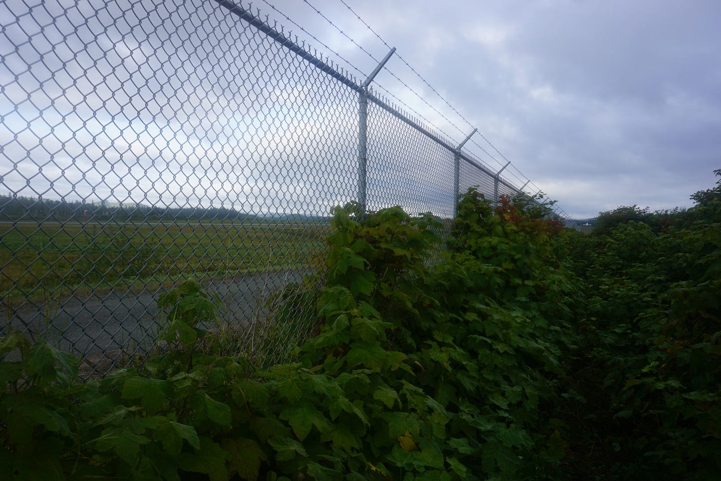
Passing through the Suquash Mine ruins after leaving the shoreline, hikers find their way back onto logging roads to cross the Keogh River and follow alongside the Port Hardy airport. Wading through thimbleberry bushes until I found a path back down to the ocean, I enjoyed this last beach walk before the next one, about 55km up the trail in Cape Scott Provincial Park.
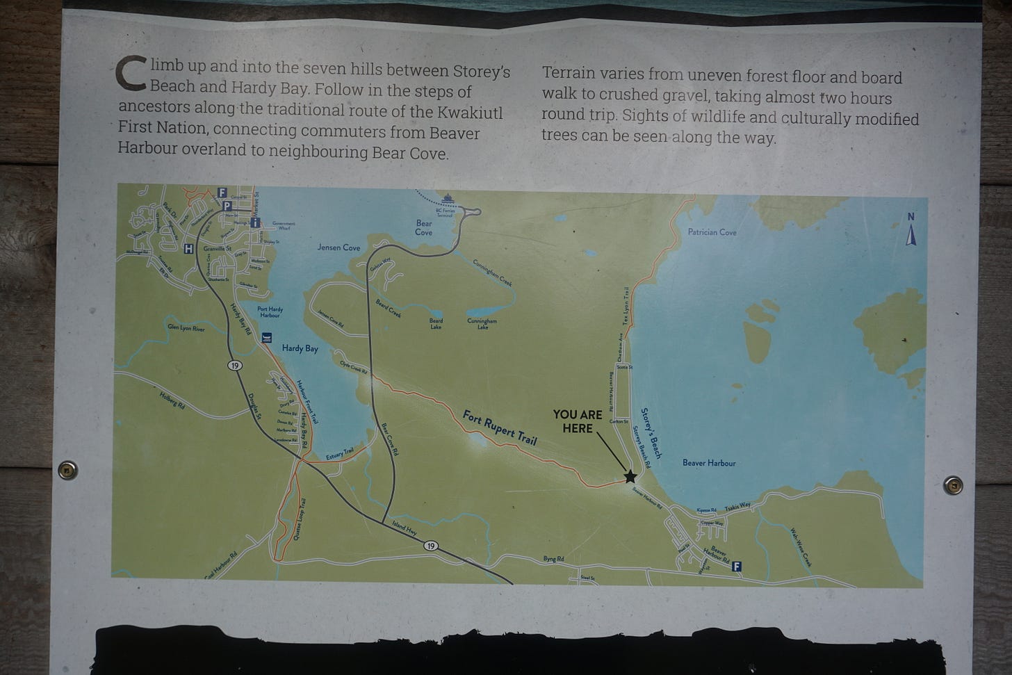
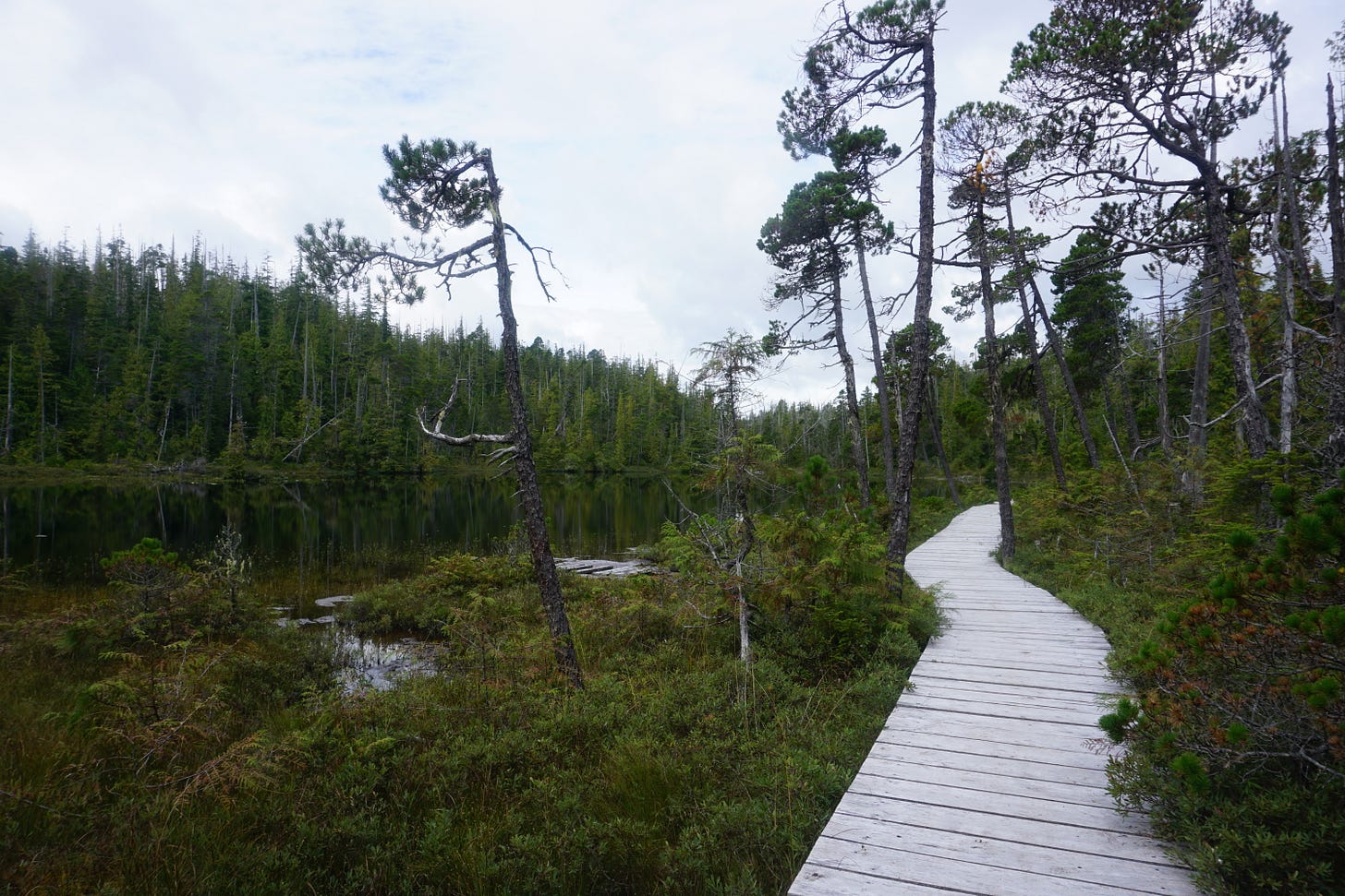
Tsaxis, a Kwakiutl village, now known as Fort Rupert, offers visitors and locals a general store and Beaver Harbour Park, before hikers follow the Fort Rupert Trail into Port Hardy. I slowly rolled into town around noon and resupplied for the next section of roughly 125km, with a forecast of rain and muddy trail ahead of me.


Kyra, your experience and knowledge of the trail could be very helpful to the folks of the VIT Association. Yours and the berry-picking bears, alike ; )
What a beautiful hike. You’re very brave Kyra. 💕